1. Introduction
Detection and monitoring of marine pollution using remote sensing techniques
The means of detecting and monitoring marine pollution very much depends on the type of pollution. The amount of pollutant and its characteristics determine the choice of platform and sensor(s).
Airplane or Satellite?
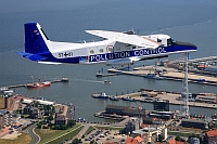
An obvious way to "take a picture" of the Earth from a distance is to mount a camera on an aircraft. Since planes fly at a relatively low altitude (just a few hundred meters to a few kilometres above the surface), the photographs or data may show many details.
For surveying aircraft to fly, the weather needs to be relatively good, strong winds would, for example, spoil the accuracy of the measurements.
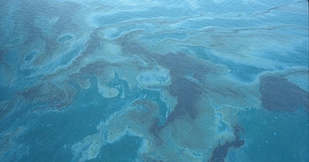
Source: ITOPF
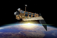
On the other hand there are some advantages of satellites with respect to planes. One of them is the fact that
extensive areas can be covered with their images and the same area can be observed systematically at every satellite pass; even
accross national boundaries. It would be an expensive task for an aircraft to fly over an entire ocean to spot harmful substances.
With a satellite, the task is much easier.
Another advantage is the homogeneity of the data: the quality of the data remains the same over the whole area observed.
Satellite images can thus provide a comprehensive picture of the overall extent of a pollution.
Making pollution visible
Remote sensors work by detecting either of these properties of the sea surface:
- colour
- reflectance
- temperature
- roughness
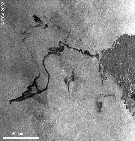
A pollutant can be detected on the water surface when it modifies one or more of these properties. Oil, for example, dampens surface waves and can therefore be detected as a 'lower roughness' signal in comparison to the sea water around it.
Active and passive sensors
Depending on the type of sensor, active systems can be used at night and under 'bad weather' conditions. Radar-based systems can, for example, penetrate clouds and fog.
With the possible exception of Microwave Radiometers
(which only give up in heavy rain), they are unable to penetrate cloud cover, fog, haze or rain. Their application
consequently requires daylight clear skies and is therefore very limited (Just imagine a severe oil spill catastrophe
that can't be detected because there are clouds all over the image!).
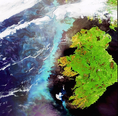
If weather conditions are suitable optical images may however give valuable information about the extent of pollution.
Source: ESA
A combination of different devices is often used to overcome the limitations of individual sensors and to provide better information about the extent and nature of a pollution incident, such as the extent of an oil spill, the thickness of the oil filmand even the type of oil.
All sensors require highly trained personnel to operate and interpret the results.
