5. Implementation Using Image Data (2/4)
Use the attached data files for reflectance, RVI and cropping data to estimate GLAI for the cropped areas in the Bindslev area of Denmark in 2004 using your ILWIS software.
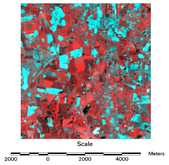
Bindslev Area, Denmark
Reflectance data derived from a Landsat TM image acquired on 4th June 2004 and used by the CABS Project for crop mapping. Reflectance data derived using field targets of known reflectance values. Image depicts NIR reflectance in red and red reflectance in green and blue.
Reflectance data derived from a Landsat TM image acquired on 4th June 2004 and used by the CABS Project for crop mapping. Reflectance data derived using field targets of known reflectance values. Image depicts NIR reflectance in red and red reflectance in green and blue.

Bindslev Area, Denmark
Ratio Vegetation Index data derived from the reflectance data.
Ratio Vegetation Index data derived from the reflectance data.
