3. Sustainable Forest Management
Deforestation (cont.)
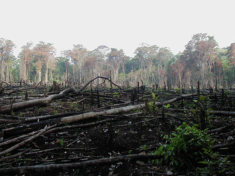
One of the most sensitive forest types where deforestation is observed, are the rainforests. Because rainforests tend to be remote and are usually encountered in countries that, at least until recently, had not established a detailed monitoring system for their rainforests, estimates of the rate of deforestation where rather inaccurate. Satellite imagery has recently proven that the actual deforestation rate is a lot higher than previously thought.
Source: Wikimedia Commons

Source: NASA/Nadine Laporte
A similar need for farmland exists in southwestern Uganda. The conversion of land into agricultural land has brought people to the edge of Bwindi National Park. The park is one of the last remaining habitats for the critically endangered mountain gorilla. Despite the efforts of the administrations in Uganda, Democratic Republic of Congo, Rwanda, and Burundi, results are not forthcoming, as the area is one of Africa's most densely populated. Illegal logging, poaching, and farming is causing immense preasure on the protected areas of the forest reserves.
