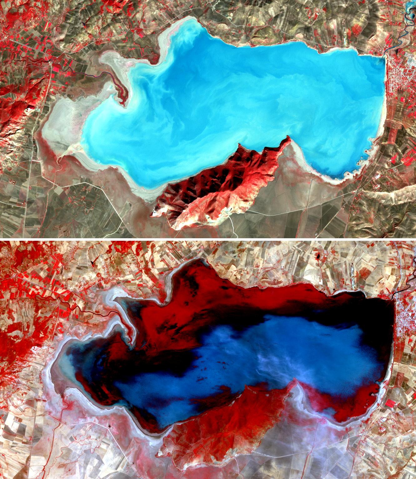
LAND - Natural heritage
Lake Ichkeul (Tunisia).
ASTER/Terra (14/11/01 and
29/07/05).
Source:
NASA/GSFC/METI/ERSDAC/ JAROS/ASTER Science Team.
Natural World Heritage
The lake and wetlands of Ichkeul in Tunisia used to be an important stopping-over point for migrating birds each year.
Increasing salinity has threatened the ecosystem and the park has been on UNESCO's list of World Heritage Sites in Danger from 1996 to 2006. Now Tunisian government has undertaken steps to reduce salinity and the birds are slowly coming back.
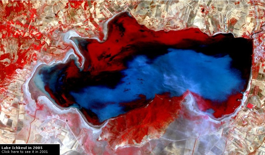
Compare both images: in 2005, water level is higher and a large part of the lake appears red due to the presence of aquatic plants.
Question: How is remote sensing useful to preserve natural Heritage ?